

suitable category
-
 Physical Disability
 -
 Electric wheelchair
 -
 Wheelchair companion
 -
 Elderly
 -
 Pregnant woman
 -
 Family family
 -
 Couple
 -
 Photoman
Introduction
Kat O is located to the west of Mirs Bay, adjacent to the border of Sha Tau Kok. It is the northernmost island in Hong Kong, and its southeast is Crescent Island and Wong Wan Chau. Because it is located in the Mirs Bay with high waves and high winds, its bay can be used as a natural haven for fishing boats, hence the name Kat O, which means auspicious; on the other hand, because the island is curved, its English name is also called Crooked Island (meaning Kat O). The highest point on the island is Kai Kung Leng, which is 122 meters high in the east of the island, followed by Wong Fong Shan, Chung Wan Peak, Ko Pang Teng, Ko Tei Teng and Wong Kok Teng.
FG Tips
There are no barrier-free facilities on the island, and wheelchair users are not recommended to go alone.
Photo album
-

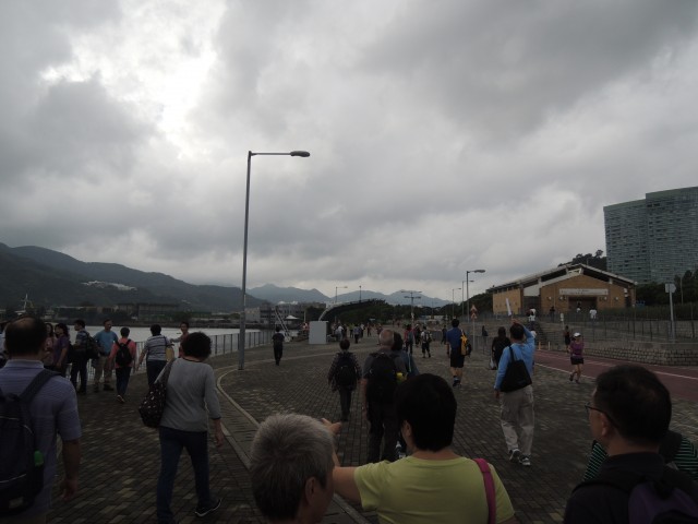
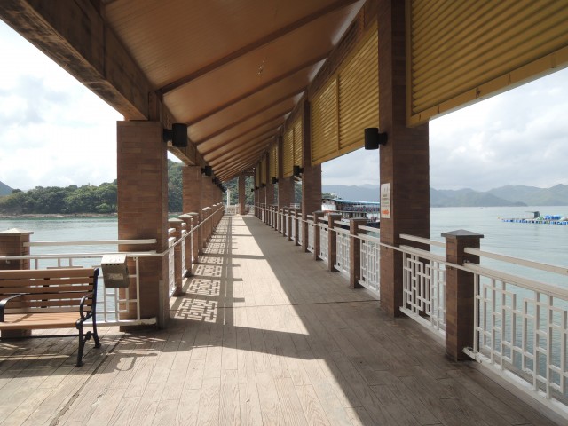
Ma Liu Shui Pier
-
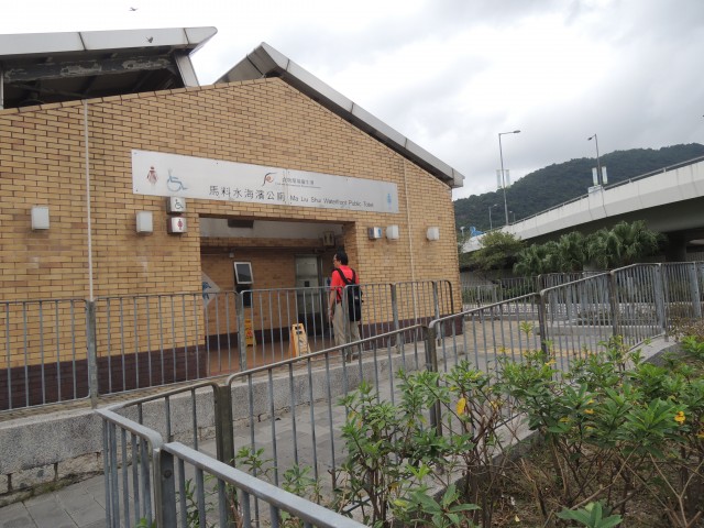
Ma Liu Shui Waterfront Public Toilet
-
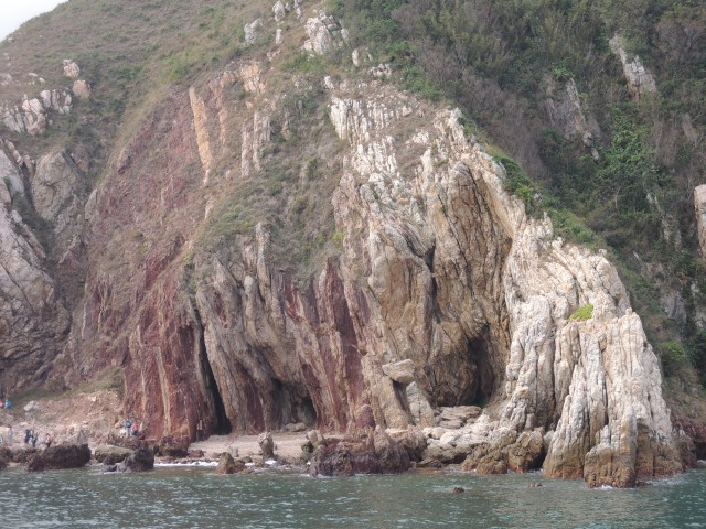
Coastal rocks on the way to Kat O
-
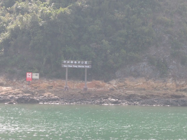
To Kat O via Double Haven
-
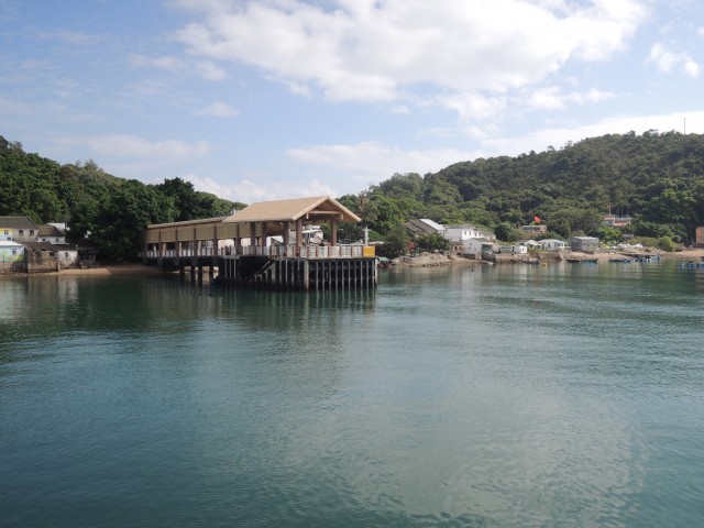
Appearance of Kat O Pier
-
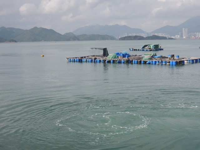
Fish steak outside Kat O Pier
-
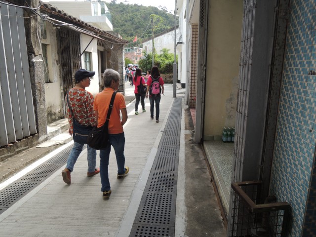
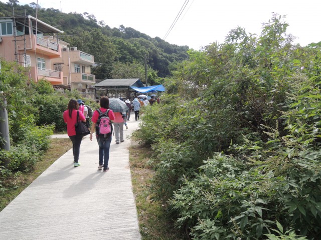
Passage on Kat O Island to Tin Hau Temple
-
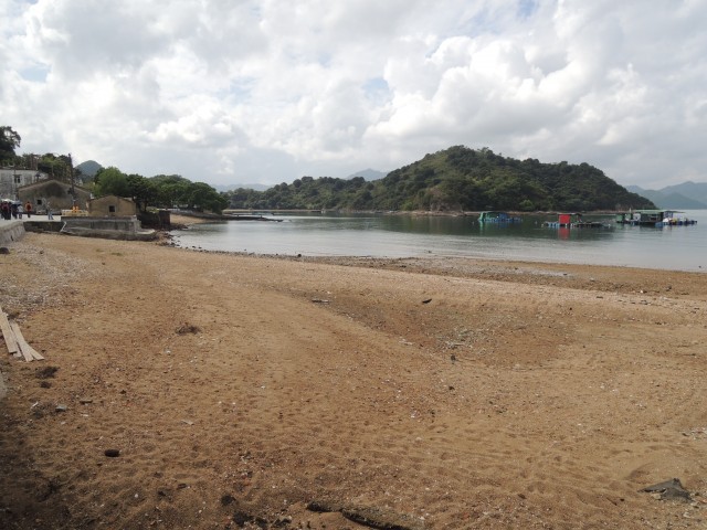
On the way to Tin Hau Temple via the beach
-
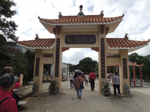
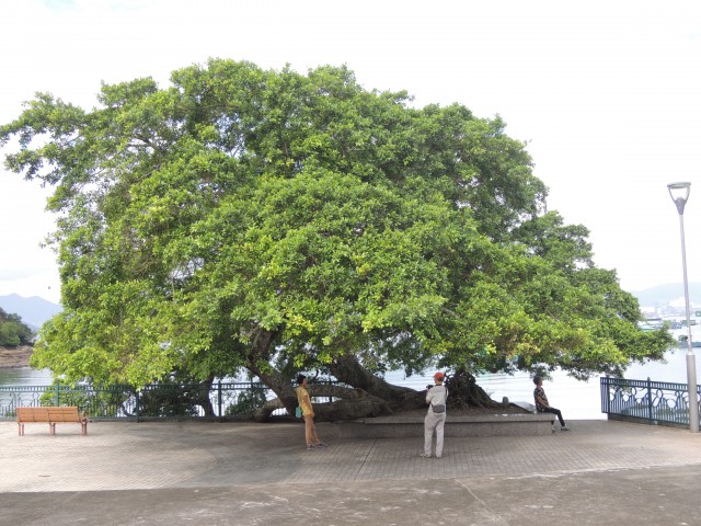
Kat O Island Square
-
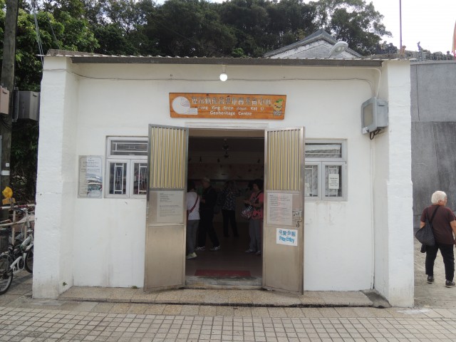
Kat O Geoheritage Centre
-
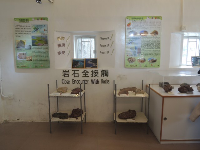
Kat O Geoheritage Centre Exhibit-Rock
-
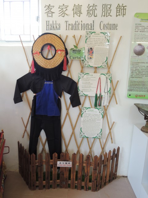
Kat O Geoheritage Centre Exhibit-Hakka clothing
-
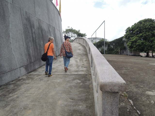
The ramp to Tin Hau Temple
-
Tin Hau Temple Square
-
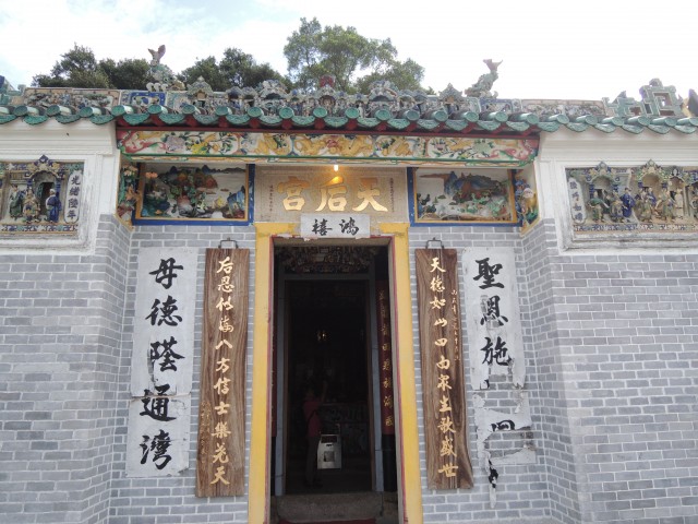
Kat O Tin Hau Temple
-
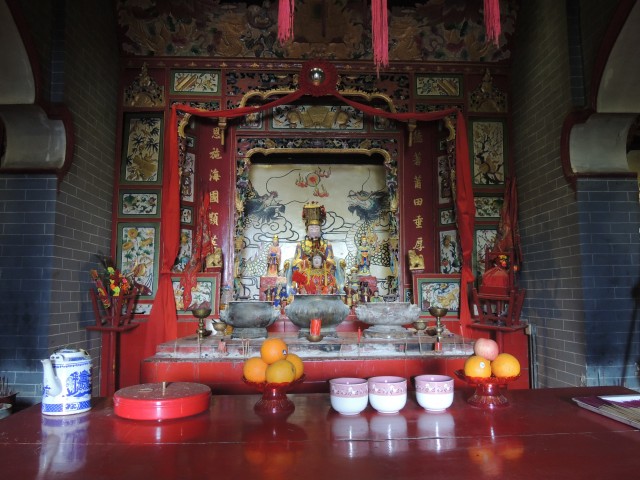
Goddess of the Sea of Kat O Tin Hau Temple
-
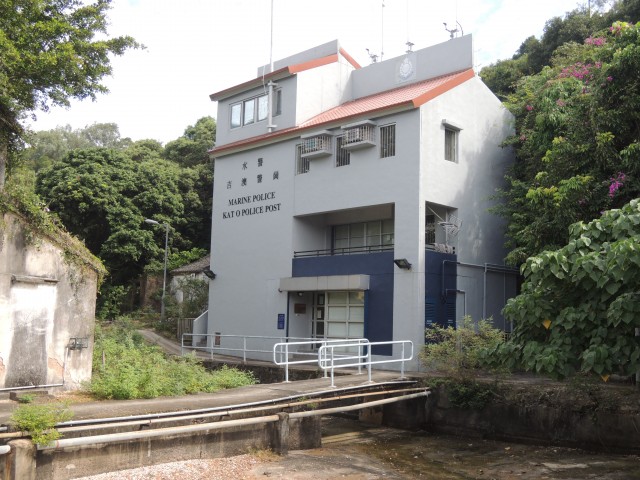
Kat O Police Post
-
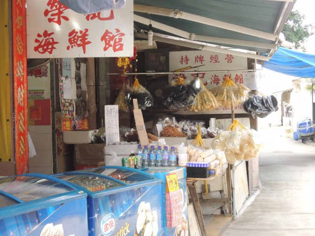
Seafood stalls in Kat O Fishing Village
-
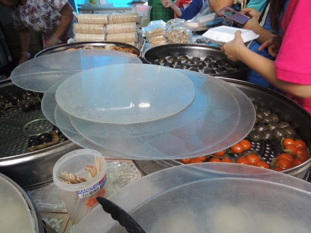
Snacks in Kat O Fishing Village

Relevant information
Address : Kat O
Enquiries : 2679-2812
- Related Introduction :
- Oasistrek
- ULifestyle