

suitable category
-
 Family family
 -
 Couple
 -
 Photoman
Introduction
Tung Ping Chau, the flat island on the easternmost side of Hong Kong, is entirely composed of sedimentary rocks. The sea-eroded landforms along the coast vary greatly. The interesting shale and various other natural wonders have made Tung Ping Chau a famous geological and landform treasure house in Hong Kong, and it has also been included in the scope of the Hong Kong UNESCO Global Geopark. This hiking route is very simple, just follow the country trail around the island, you can walk through the island's popular attractions.
FG Tips
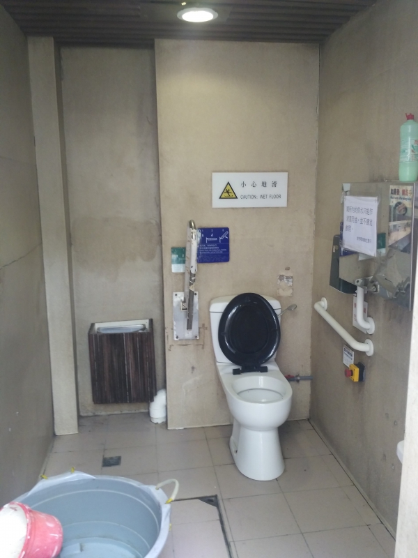
Tung Ping Chau is included in the scope of the Hong Kong UNESCO Global Geopark. Most of the island is mountain roads, which are completely unsuitable for wheelchair users.
Photo album
-

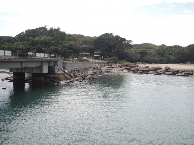
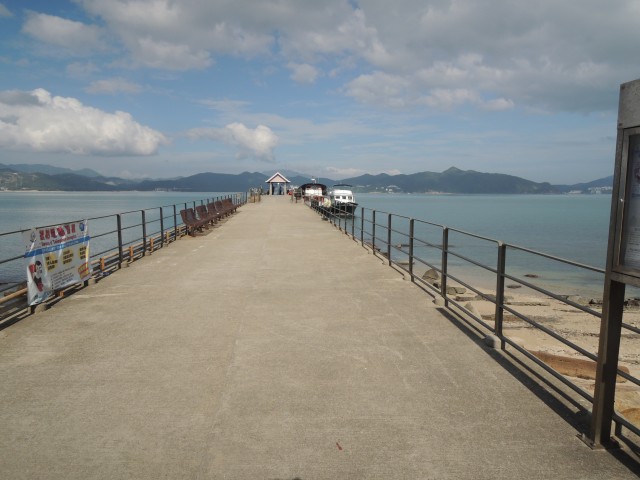
Tung Ping Chau Pier
-
Beach and scenery next to Tung Ping Chau Pier
-
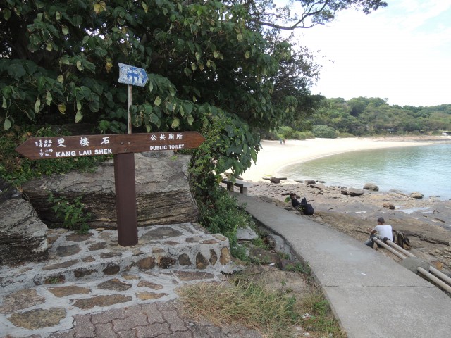
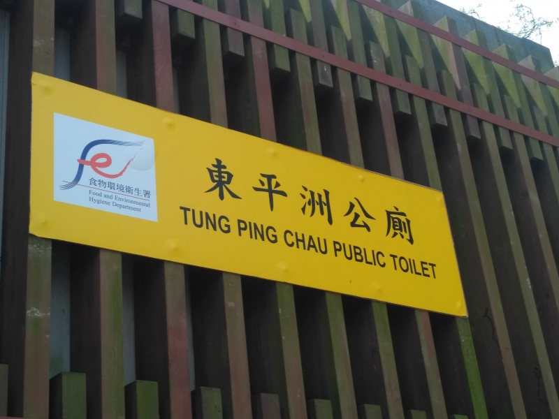
Signs on Tung Ping Chau
-
Access to the Geopark
-
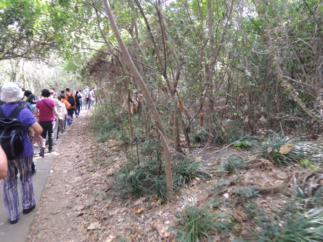
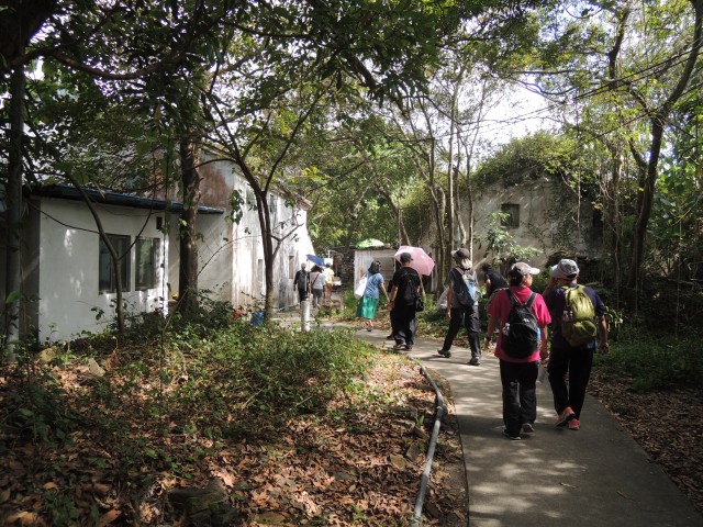
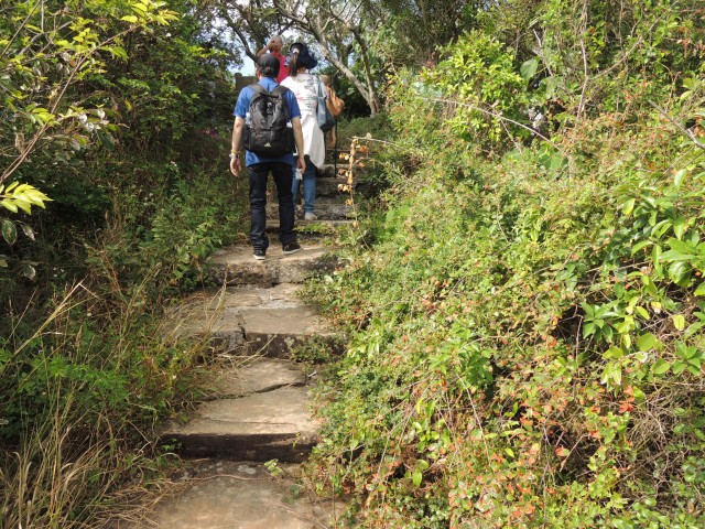
Passage in Tung ping Chau
-
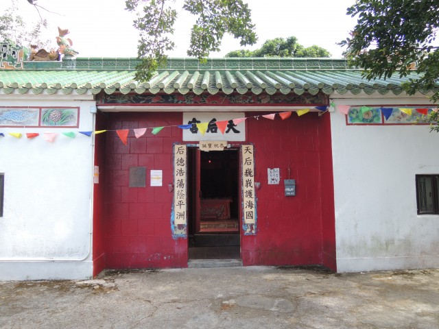
Tin Hau Temple on Tung Ping Chau
-
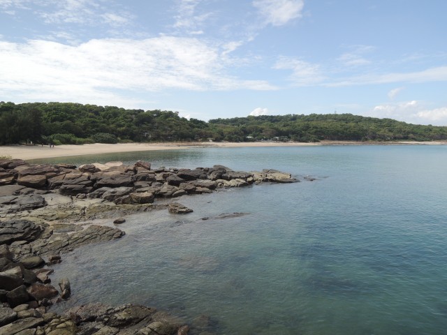
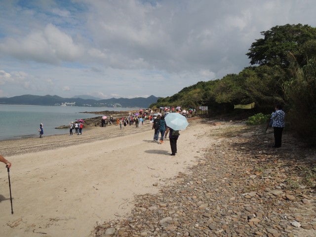
Tung Ping Chau coastal beach
-
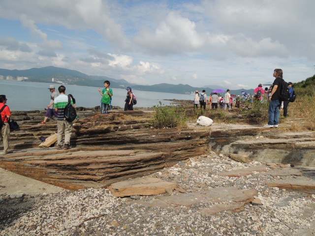
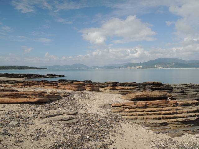
Rocks on the beach
-
Rocks along the coast
-
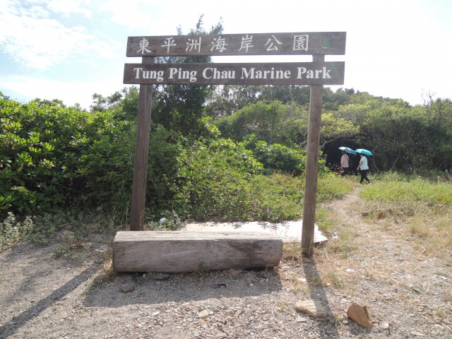
Tung Ping Chau Marine Park
-
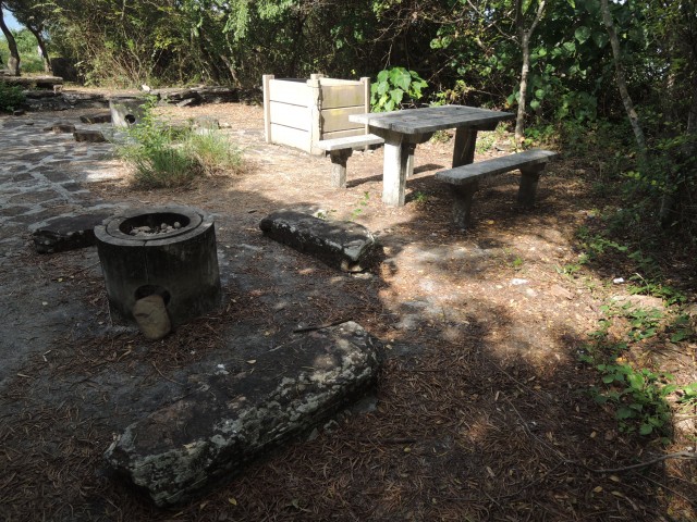
Tung Ping Chau Marine Park BBQ
-
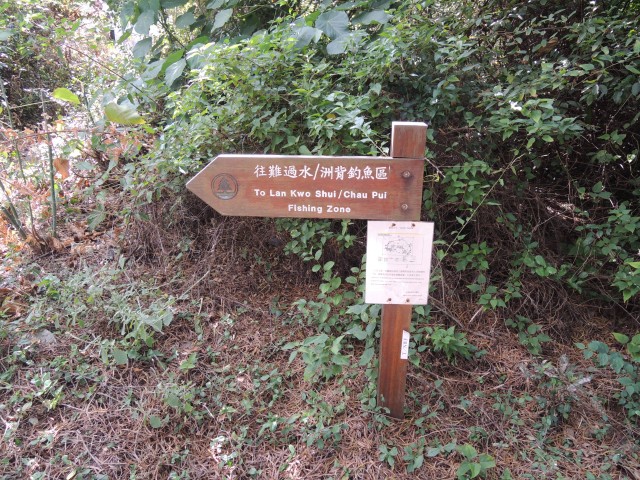
Sign to "Lan Kwo Shui"
-
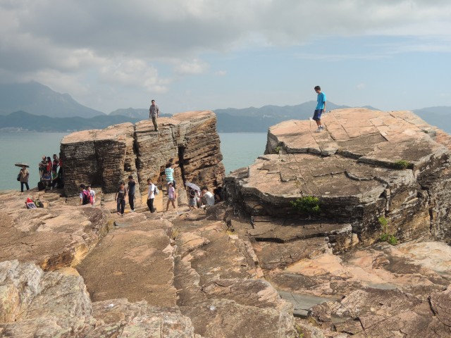
Tung Ping Chau Marine Park big rock
-
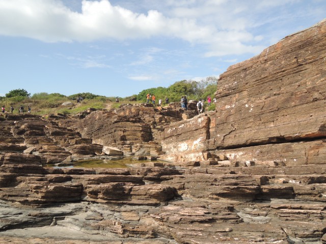
Coastal rocks in Tung Ping Chau marine parks
-
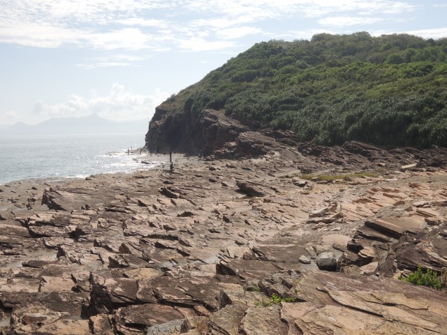
Tung Ping Chau Marine park rock cliff
-
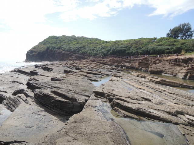
Coastal rocks in Tung Ping Chau
marine parks
Relevant information
Opening hours:
Take Public Pier and leave at Tung Ping Chau Public Pier. There is only one boat returning to Ma Liu shui a day. Please pay attention to the time (Saturdays, Sundays and public holidays only).
Address : Tung Ping Chau, New Territories
Website : Related attractions URL
- Related Introduction :
- Discover Hong Kong
- Oasistrek